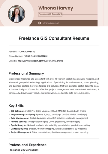
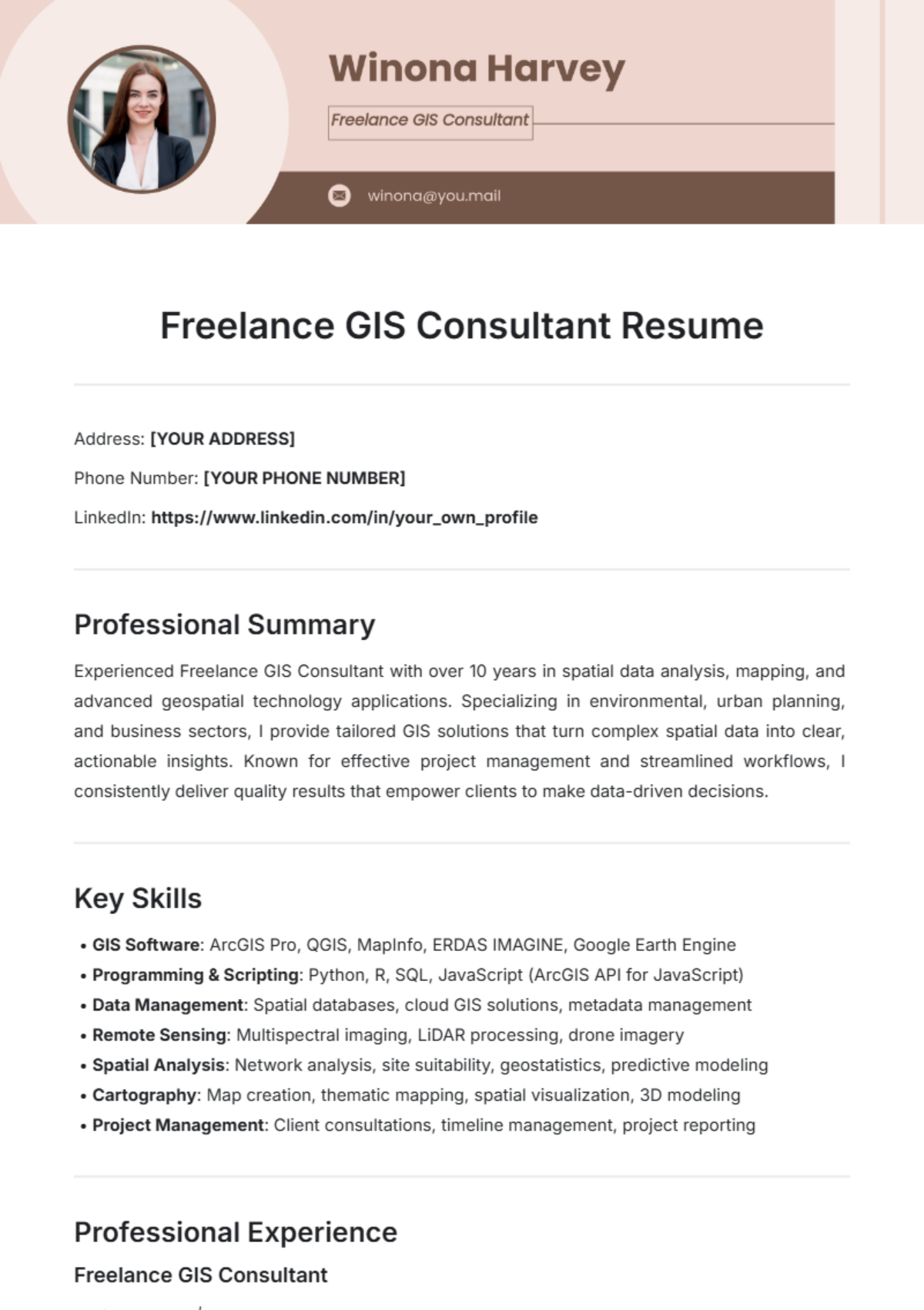
Freelance GIS Consultant Resume
Address: [YOUR ADDRESS]
Phone Number: [YOUR PHONE NUMBER]
LinkedIn: https://www.linkedin.com/in/your_own_profile
Professional Summary
Experienced Freelance GIS Consultant with over 10 years in spatial data analysis, mapping, and advanced geospatial technology applications. Specializing in environmental, urban planning, and business sectors, I provide tailored GIS solutions that turn complex spatial data into clear, actionable insights. Known for effective project management and streamlined workflows, I consistently deliver quality results that empower clients to make data-driven decisions.
Key Skills
GIS Software: ArcGIS Pro, QGIS, MapInfo, ERDAS IMAGINE, Google Earth Engine
Programming & Scripting: Python, R, SQL, JavaScript (ArcGIS API for JavaScript)
Data Management: Spatial databases, cloud GIS solutions, metadata management
Remote Sensing: Multispectral imaging, LiDAR processing, drone imagery
Spatial Analysis: Network analysis, site suitability, geostatistics, predictive modeling
Cartography: Map creation, thematic mapping, spatial visualization, 3D modeling
Project Management: Client consultations, timeline management, project reporting
Professional Experience
Freelance GIS Consultant
Self-Employed | Remote
January 2055 – Present
Designed and implemented GIS-based solutions for clients across sectors including environmental science, urban development, and retail.
Created high-resolution thematic and 3D maps for urban planning projects, increasing project efficiency by 40% through optimized data handling and visualization techniques.
Developed custom workflows in Python for automating spatial data processing, reducing project completion times by an average of 25%.
Provided spatial analysis insights for large agricultural clients, leveraging drone and satellite imagery to monitor crop health and assess yield potential.
Built web-based interactive maps using ArcGIS Online for real-time data sharing and client collaboration, improving client satisfaction and engagement.
Conducted virtual training sessions on GIS fundamentals, empowering client teams to independently perform essential spatial analyses.
Maintained up-to-date knowledge of industry trends and technologies to ensure clients receive the most innovative and effective solutions.
GIS Analyst
GreenTech Environmental Solutions | EcoCity, CA
June 2050 – December 2054
Managed and analyzed large spatial datasets for environmental projects, including pollutant dispersion and green space analysis.
Collaborated with urban planners to create spatial models supporting sustainable development initiatives across multiple city projects.
Processed multispectral satellite imagery for vegetation and land-use assessments, providing critical data for conservation efforts.
Developed and maintained a spatial geodatabase for municipal clients, enabling efficient data storage and easy access for planning departments.
Education
Bachelor of Science in Geographic Information Systems
University of Future Studies | Virtual Campus, USA
Graduated: May 2050
Certifications
GIS Professional (GISP) – GIS Certification Institute, 2056
Esri ArcGIS Desktop Professional – Esri, 2055
Certified Remote Sensing Specialist – International Remote Sensing Association, 2055
Projects
Urban Heat Mapping Initiative (2057): Created a high-resolution urban heat map for EcoCity, CA, identifying high-risk zones to aid in climate adaptation planning.
Retail Expansion Site Analysis (2056): Developed a predictive spatial model for a retail chain, identifying ideal locations based on demographic, traffic, and competitor data.
Precision Agriculture Crop Health Analysis (2055): Used drone and satellite imagery to provide insights on crop health and irrigation needs, helping farmers make informed decisions.
Professional Affiliations
Member, Urban and Regional Information Systems Association (URISA)
Member, American Association of Geographers (AAG)
References
Available upon request.
- 100% Customizable, free editor
- Access 1 Million+ Templates, photo’s & graphics
- Download or share as a template
- Click and replace photos, graphics, text, backgrounds
- Resize, crop, AI write & more
- Access advanced editor
Unlock new career opportunities with the Freelance GIS Consultant Resume Template from Template.net. This fully customizable and editable template is crafted for easy personalization, allowing you to showcase your skills with precision. Editable in our AI Editor Tool, it offers a seamless experience for tailoring content to fit your unique qualifications and professional style.
You may also like
- Simple Resume
- High School Resume
- Actor Resume
- Accountant Resume
- Academic Resume
- Corporate Resume
- Infographic Resume
- Sale Resume
- Business Analyst Resume
- Skills Based Resume
- Professional Resume
- ATS Resume
- Summary Resume
- Customer Service Resume
- Software Engineer Resume
- Data Analyst Resume
- Functional Resume
- Project Manager Resume
- Nurse Resume
- Federal Resume
- Server Resume
- Administrative Assistant Resume
- Sales Associate Resume
- CNA Resume
- Bartender Resume
- Graduate Resume
- Engineer Resume
- Data Science Resume
- Warehouse Resume
- Volunteer Resume
- No Experience Resume
- Chronological Resume
- Marketing Resume
- Executive Resume
- Truck Driver Resume
- Cashier Resume
- Resume Format
- Two Page Resume
- Basic Resume
- Manager Resume
- Supervisor Resume
- Director Resume
- Blank Resume
- One Page Resume
- Developer Resume
- Caregiver Resume
- Personal Resume
- Consultant Resume
- Administrator Resume
- Officer Resume
- Medical Resume
- Job Resume
- Technician Resume
- Clerk Resume
- Driver Resume
- Data Entry Resume
- Freelancer Resume
- Operator Resume
- Printable Resume
- Worker Resume
- Student Resume
- Doctor Resume
- Merchandiser Resume
- Architecture Resume
- Photographer Resume
- Chef Resume
- Lawyer Resume
- Secretary Resume
- Customer Support Resume
- Computer Operator Resume
- Programmer Resume
- Pharmacist Resume
- Electrician Resume
- Librarian Resume
- Computer Resume
- IT Resume
- Experience Resume
- Instructor Resume
- Fashion Designer Resume
- Mechanic Resume
- Attendant Resume
- Principal Resume
- Professor Resume
- Safety Resume
- Waitress Resume
- MBA Resume
- Security Guard Resume
- Editor Resume
- Tester Resume
- Auditor Resume
- Writer Resume
- Trainer Resume
- Advertising Resume
- Harvard Resume
- Receptionist Resume
- Buyer Resume
- Physician Resume
- Scientist Resume
- 2 Page Resume
- Therapist Resume
- CEO resume
- General Manager Resume
- Attorney Resume
- Project Coordinator Resume
- Bus Driver Resume
- Cook Resume
- Artist Resume
- Pastor Resume
- Recruiter Resume
- Team Leader Resume
- Apprentice Resume
- Police Resume
- Military Resume
- Personal Trainer Resume
- Contractor Resume
- Dietician Resume
- First Job Resume
- HVAC Resume
- Psychologist Resume
- Public Relations Resume
- Support Specialist Resume
- Computer Technician Resume
- Drafter Resume
- Foreman Resume
- Underwriter Resume
- Photo Resume
- Teacher Resume
- Modern Resume
- Fresher Resume
- Creative Resume
- Internship Resume
- Graphic Designer Resume
- College Resume
