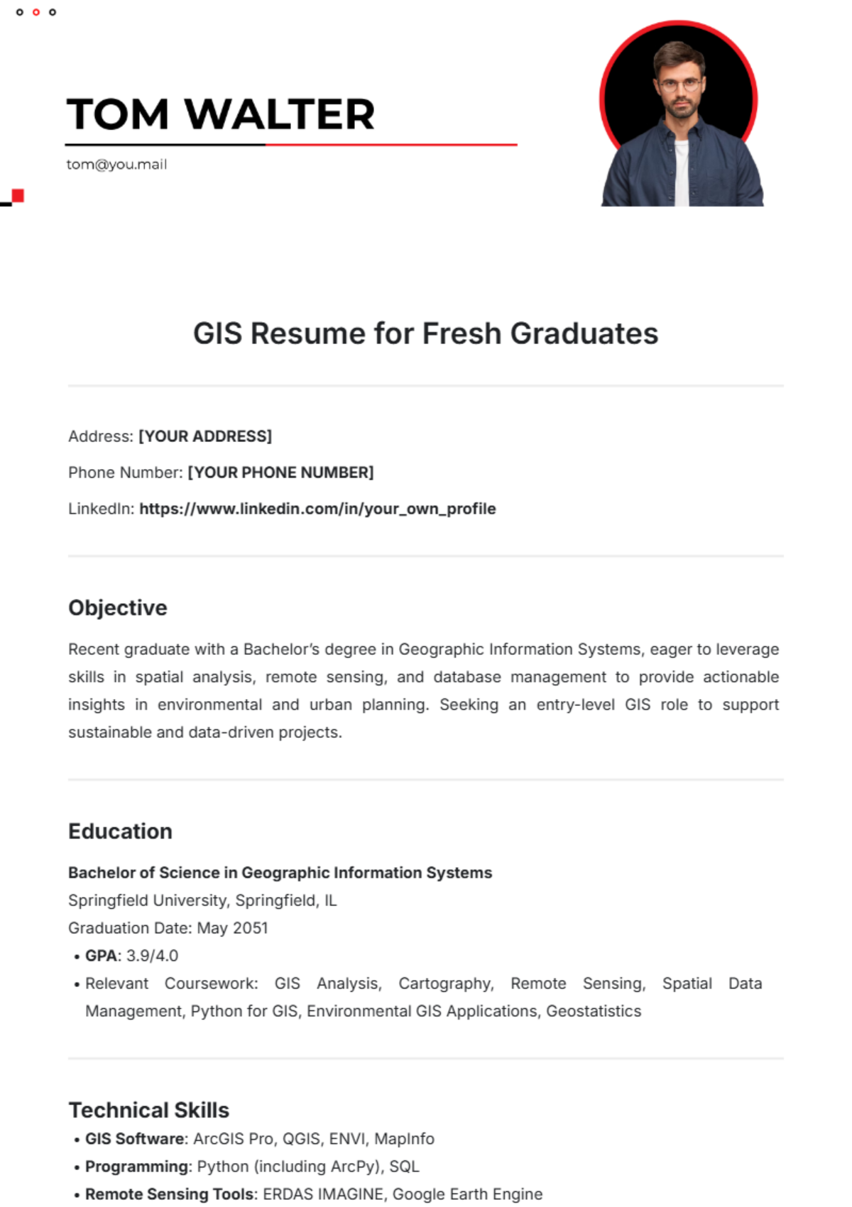
GIS Resume for Fresh Graduates
Address: [YOUR ADDRESS]
Phone Number: [YOUR PHONE NUMBER]
LinkedIn: https://www.linkedin.com/in/your_own_profile
Objective
Recent graduate with a Bachelor’s degree in Geographic Information Systems, eager to leverage skills in spatial analysis, remote sensing, and database management to provide actionable insights in environmental and urban planning. Seeking an entry-level GIS role to support sustainable and data-driven projects.
Education
Bachelor of Science in Geographic Information Systems
Springfield University, Springfield, IL
Graduation Date: May 2051
GPA: 3.9/4.0
Relevant Coursework: GIS Analysis, Cartography, Remote Sensing, Spatial Data Management, Python for GIS, Environmental GIS Applications, Geostatistics
Technical Skills
GIS Software: ArcGIS Pro, QGIS, ENVI, MapInfo
Programming: Python (including ArcPy), SQL
Remote Sensing Tools: ERDAS IMAGINE, Google Earth Engine
Database Management: PostgreSQL, PostGIS
Other: Microsoft Excel, Adobe Illustrator, Tableau, Cartographic Design, Spatial Analysis
Projects
1. Mapping Urban Green Spaces in Springfield
University Capstone Project | January 2051 – April 2051
Used ArcGIS Pro to identify, map, and analyze urban green spaces throughout Springfield.
Conducted spatial analysis to assess the accessibility of green areas for residents, producing visualizations that helped city planners identify underserved communities.
Created a series of high-quality maps that were praised by faculty and showcased at the annual GIS conference.
2. Watershed Management and Hydrological Modeling for Sangamon River Basin
University Project | September 2050 – December 2050
Conducted a watershed analysis using remote sensing and hydrological models to evaluate water flow patterns and environmental impact.
Applied ERDAS IMAGINE for land cover classification, focusing on agricultural areas influencing water quality.
Compiled findings in a report and map layout, demonstrating the impact of land use changes on water quality, with recommendations for resource management.
3. Crime Data Spatial Analysis for Springfield Police Department
Internship Project at Springfield City Government | June 2050 – August 2050
Analyzed and visualized crime data patterns using QGIS and ArcGIS Pro to identify crime hotspots.
Created heat maps and applied clustering analysis to support resource allocation for law enforcement.
Presented actionable insights to local authorities, leading to the allocation of additional resources to high-crime areas.
Experience
GIS Intern
Springfield City Government, Springfield, IL
June 2050 – August 2050
Assisted in data collection, spatial analysis, and map production for projects focused on environmental planning and urban infrastructure.
Maintained and updated geospatial databases, ensuring accuracy and adherence to standards.
Produced cartographic products for presentations to city planners, enhancing the visualization of demographic and land use data.
Certifications
Esri ArcGIS Desktop Associate Certification (February 2050)
Google Earth Engine for Python Applications – Coursera (December 2050)
Professional Affiliations
American Association of Geographers (AAG) – Student Member (since 2050)
GIS Certification Institute (GISCI) – Applicant (anticipated certification in 2051)
Additional Skills and Interests
Soft Skills: Excellent communication, analytical thinking, attention to detail, and collaboration.
Interests: Environmental conservation, sustainable urban planning, geospatial storytelling, and hiking.
References
Available upon request.
